Complete guide to Colombia
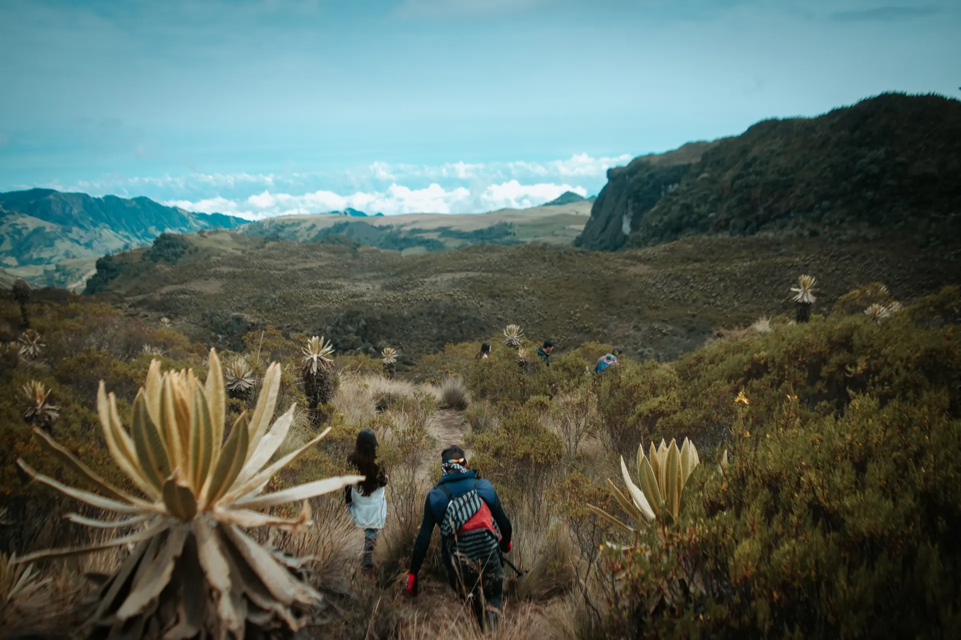
From our Bogotá agency, we see travelers discover each week a Colombia far more vast than the image they had of it. The country spans three Andean mountain ranges, two maritime coasts and a huge Amazon basin, making it possible to move in just a few days from the dry cold of the páramo, at 3,500 meters, to the muggy heat of Cartagena at 32°C.
Coffee is grown in Quindío and Risaralda, between Salento and Filandia, on green slopes at 1,700 meters. Further north, the Caribbean coast lines up Cartagena, Santa Marta and the Sierra Nevada, where the Kogui people still live above 2,000 meters. On the other side, the Pacific, little equipped but preserved, welcomes humpback whales each year from July to October in Nuquí Bay. Colombian Amazonia, accessible from Leticia, completes the picture with its rivers and Ticuna communities.
For a first trip, plan for fifteen days to combine two regions, for example Bogotá, the coffee region and the Caribbean coast. Three weeks allow you to add the Tatacoa desert, San Agustín or an Amazon detour. Our team builds each itinerary according to your pace and the season.
The regions of Colombia
Each region has its own personality: climate, landscapes, pace of life and ways of traveling. Our local team helps you choose the combination that suits you.
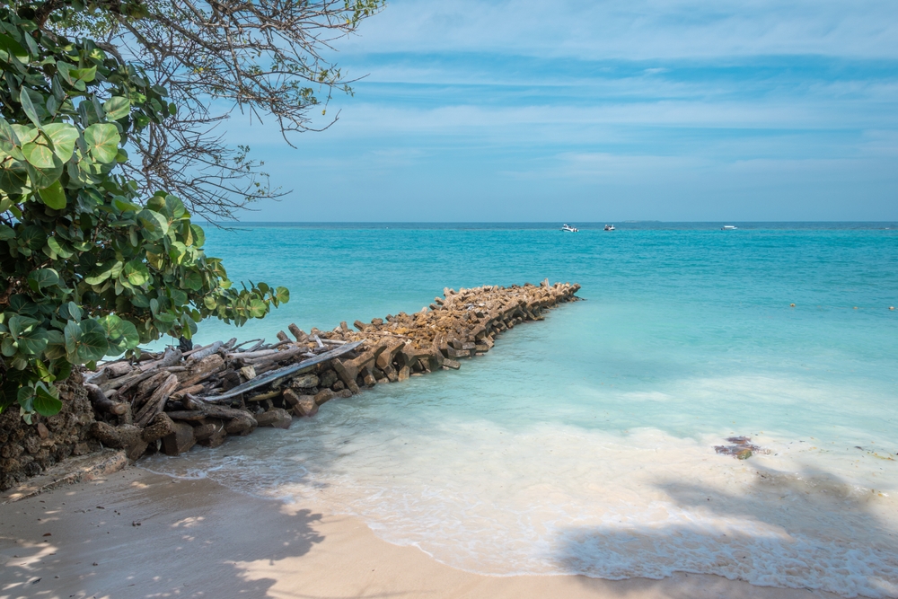
Caribbean Coast
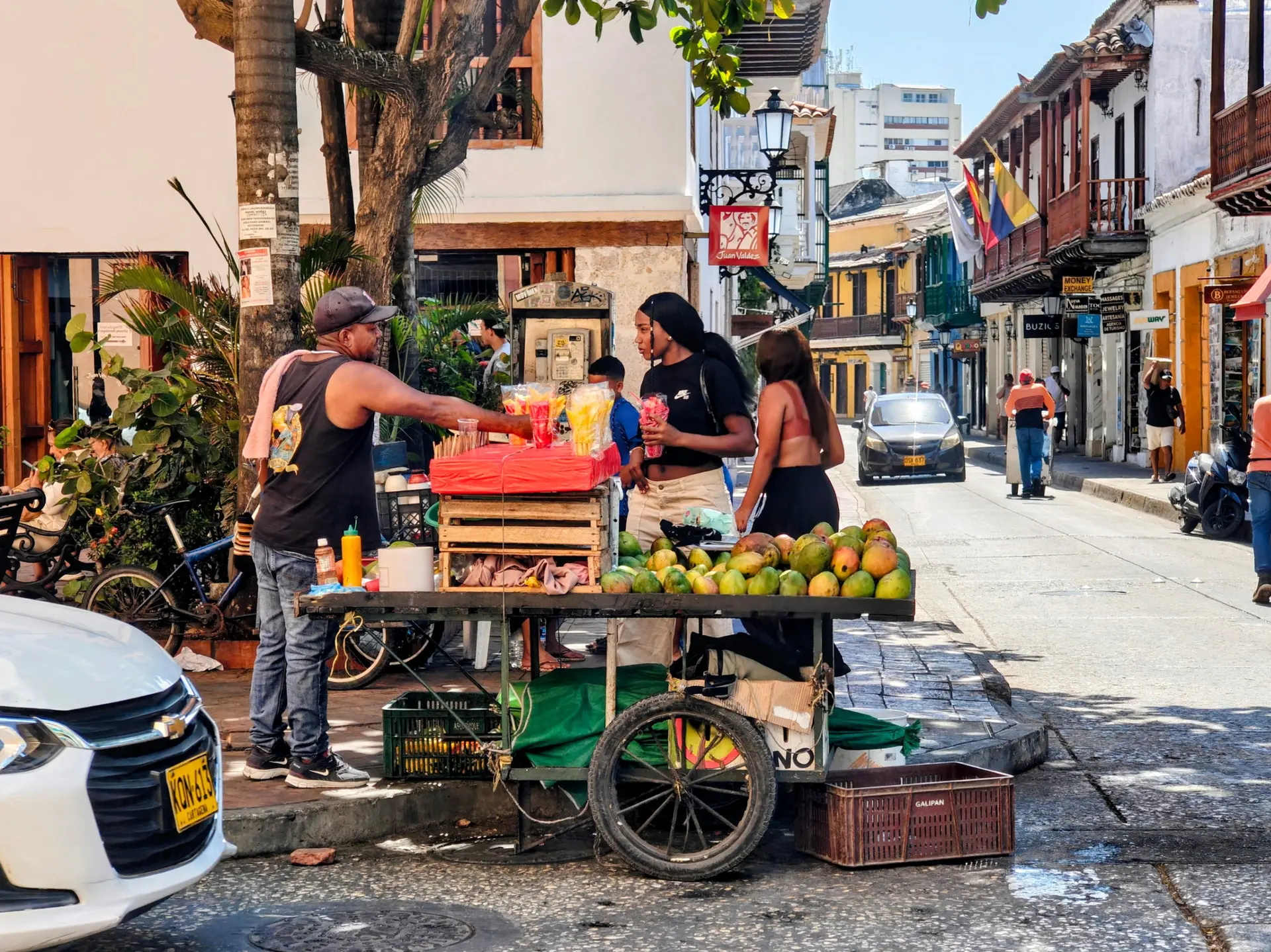
The Caribbean coast concentrates the iconic images of Colombia: the colorful streets of Cartagena, the old balconies of Mompox, and the beaches of Palomino and Tayrona. Behind the coast rises the Sierra Nevada de Santa Marta, the country's highest point at 5,775 meters, inhabited by the Kogui and Arhuaco communities. It's warm year-round, between 28 and 33°C, with a dry season marked from December to March. It's the most touristy region, ideal at the end of your itinerary for a few days of relaxation after the Andes. We recommend avoiding Cartagena during Holy Week, which is very crowded.
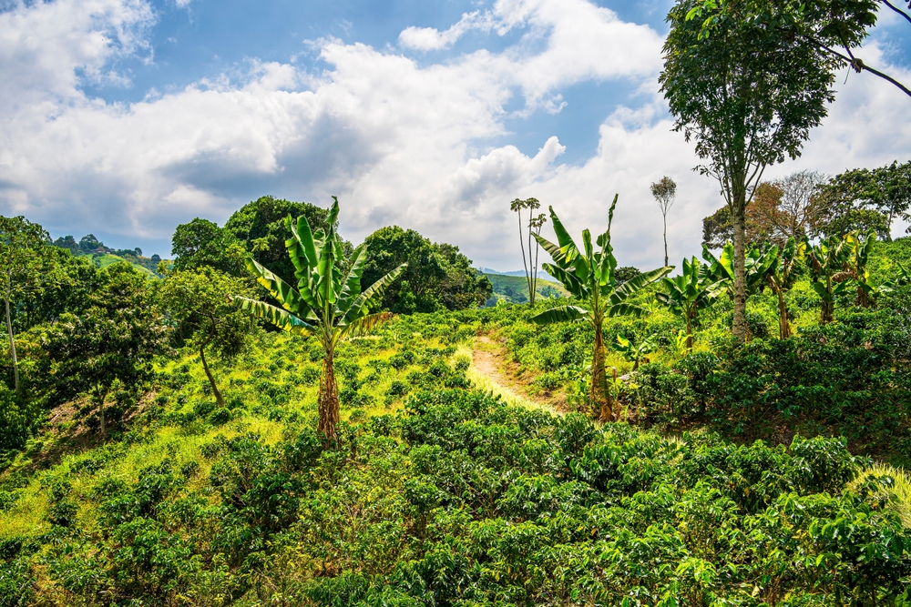
Coffee Axis
The Salento, Filandia, Salamina triangle spans the departments of Quindío, Risaralda and Caldas, listed as Unesco World Heritage sites for their coffee cultural landscape. The farms, or fincas, can be visited between 1,400 and 1,800 meters altitude, with mild temperatures of 18 to 24°C year-round. Cocora Valley, planted with giant wax palms, can be explored in a five-hour walk from Salento. It is also the ideal starting point to understand the coffee chain, from harvest to cup, while staying with producers.
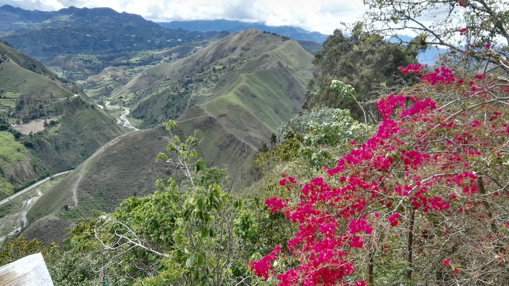
Andes and Bogotá
Bogotá, the capital at 2,640 meters, sets the Andean tone: cool nights, daytime temperatures around 18°C and frequent showers in April and October. La Candelaria, its historic center, houses the Gold Museum and the Botero Museum. Further north, Villa de Leyva, Barichara and the Salt Cathedral of Zipaquirá punctuate the departments of Boyacá and Santander. The Chicamocha Canyon and the city of San Gil offer rafting, paragliding and hiking. The region lends itself to a five to seven-day itinerary, as a complement to a coffee region or Caribbean stay.
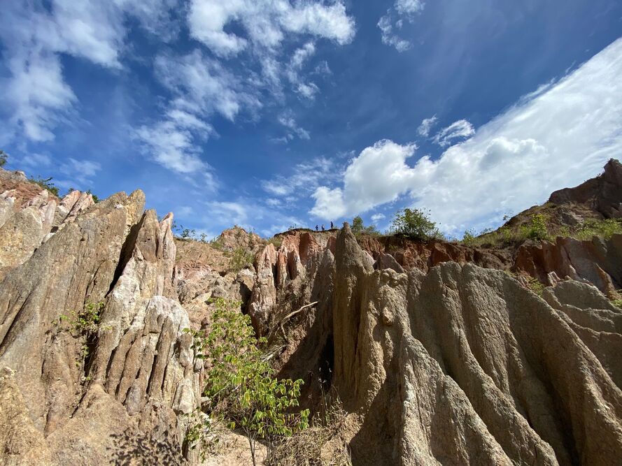
Andean South and Desert
South of Bogotá, the Tatacoa Desert, spanning 330 km², unveils its ochre and red canyons around Villavieja, with skies among the clearest in the country for stargazing. Further on, San Agustín houses over 500 pre-Columbian stone statues classified as a UNESCO site, while Tierradentro preserves its painted underground tombs. Popayán, a colonial white city, completes the loop southward. Plan seven to eight days for this demanding loop in terms of driving hours, with stops at 1,700 metres altitude and temperatures ranging from 16 to 30°C depending on the sites.
Pacific and whales
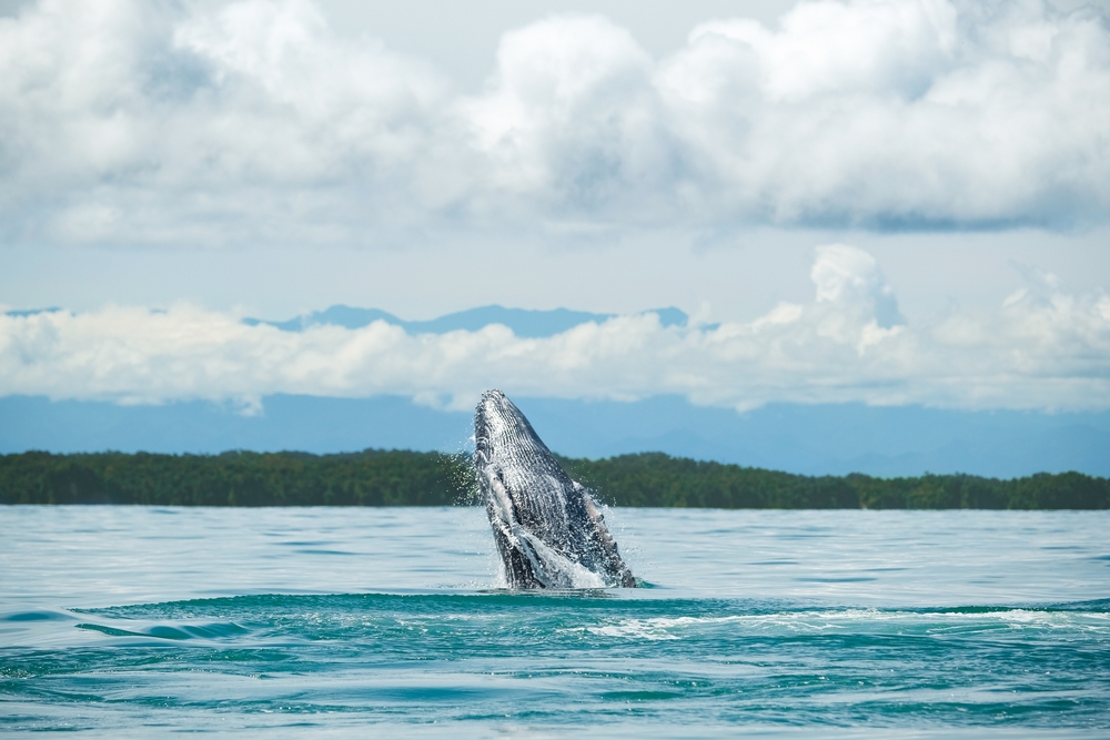
The Pacific coast, from Chocó to Nariño, remains one of the world's rainiest regions, with dense forest descending into the ocean. Access is by plane from Medellín to Nuquí or Bahía Solano. From July to October, humpback whales come to calve, observable on three-hour boat trips from the ecolodges of Joví or Termales. Infrastructure is rustic, network coverage nearly non-existent, but contact with Afro-Colombian communities and nature more than makes up for it. Four nights is a minimum given flight times.
Amazon
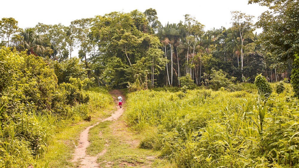
Leticia, at the far south, is the gateway to Colombian Amazonia, accessible only by plane from Bogotá. The town opens onto the triple border with Brazil and Peru, and onto Amacayacu Park, explored by canoe. Temperatures range between 25 and 33°C, with constant humidity. The Ticuna and Yagua communities welcome travelers in community lodges on the Río Yavarí or around Puerto Nariño. Four to five days are enough for a first experience: pink dolphin spotting, forest trekking, nights in a hammock.
Explore by theme
Unique experiences tailored to every traveler.

We use cookies to improve your experience and measure our site's audience. You can choose what you accept. Learn more.