Tayrona National Park
Tayrona National Park
Between the Sierra Nevada and the Caribbean Sea, Tayrona National Park brings together granite beaches, tropical forest and pre-Hispanic ruins. A protected territory to explore from Santa Marta.
Tayrona National Park stretches along the Colombian Caribbean coast, roughly fifty kilometers east of Santa Marta. It combines dense tropical forest, the Sierra Nevada and the Caribbean Sea within a single protected territory. Its beaches framed by granite boulders, its forest trails and pre-Hispanic ruins make it one of the most visited natural parks in Colombie.
Quick facts
- Entrance: paid admission (differential rates for Colombian residents and foreign visitors); tickets must be purchased online through the Parques Nacionales Naturales portal before your visit.
- Access: from Santa Marta, take a bus or shared minibus to the El Zaíno entrance (main gate); taxis and private shuttles are available.
- Annual closure: the park closes for several weeks in February and September for ecological regeneration; check official dates before planning your trip.
- Recommended duration: 1 to 3 days depending on beaches and trails visited.
- What to wear: closed-toe hiking shoes recommended for trails; swimwear for beaches.
- Accessibility for people with reduced mobility: very limited due to unmaintained trails and rough terrain.
What to see
The park features several distinct beaches connected by hiking trails. Cabo San Juan del Guía is the most iconic, with its granite boulders and headland. La Piscina offers calm waters ideal for swimming. Arrecifes, despite its visual appeal, is dangerous for swimming due to strong currents. The dry and wet tropical forest is home to diverse wildlife: howler monkeys, iguanas, tropical birds and, at night, raccoons.
History and context
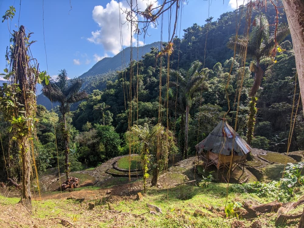
The territory was inhabited by the Tayrona people long before Spanish colonization. This group developed stone cities connected by paved paths in the Sierra Nevada. The archaeological site of Pueblito (Chairama), accessible from the park, preserves terraces and foundations from this civilization. The park was established in 1964 to protect both the coastal ecosystem and this pre-Hispanic heritage.
Highlights of your visit
Cabo San Juan del Guía
This rocky headland separates two coves with contrasting character. On the western side, a sheltered beach for swimming; on the eastern side, stronger waves and an open panorama over the Caribbean Sea. A hammock suspended on the rock has become the park's iconic image.
Trail to Pueblito (Chairama)
From Cabo San Juan, a hiking trail climbs through forest toward the Tayrona ruins of Pueblito. The ascent is demanding (approximately 1.5 to 2 hours) but reveals stone terraces, dense vegetation and coastal views. Local guides are available at the trail entrance.
La Piscina and Arrecifes
La Piscina is the safest beach for swimming, protected by boulders. Arrecifes, larger and more spectacular, is off-limits for swimming: currents there are regularly fatal. Warning signs must be strictly respected.
Wildlife in the forest
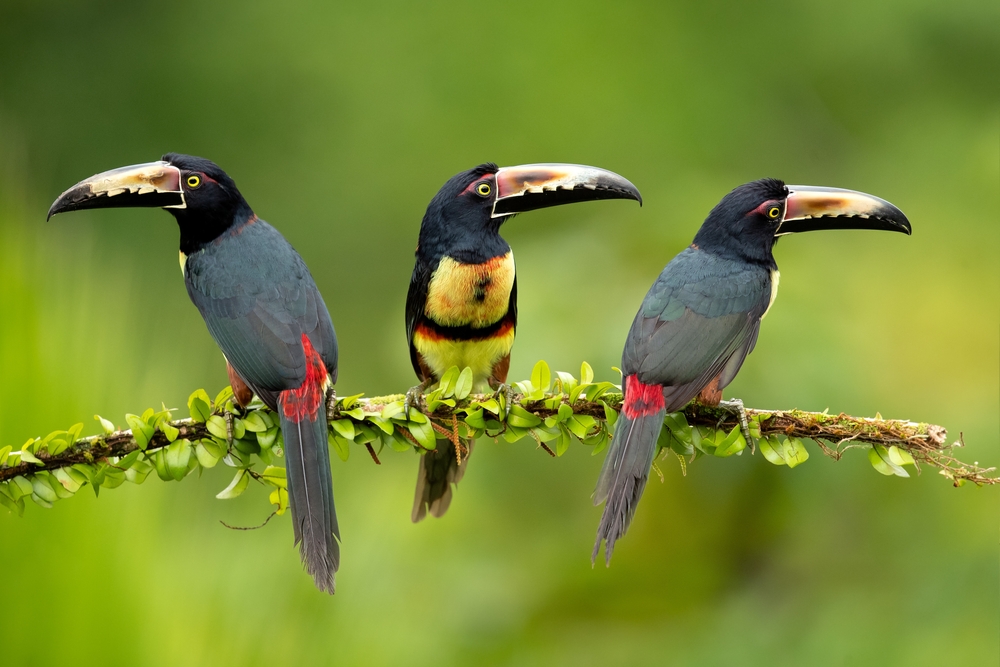
Howler monkeys announce themselves at dawn with powerful cries. Iguanas bask on rocks along the trail edges. In the evening, raccoons (mapaches) approach camping areas—keep food out of reach.
Photography tips
Golden morning light (before 9 a.m.) is ideal at Cabo San Juan for photographing rocks without backlighting. Midday, vegetation filters light and creates interesting atmospheres on forest trails. Drones are prohibited in the park. Avoid photographing indigenous communities without their explicit consent.
Location and access
The park is located on the Caribbean coast, between Santa Marta and Riohacha. The main El Zaíno entrance is accessible from Santa Marta via the national highway. Shared shuttles depart regularly from Santa Marta's market. A second entrance, Calabazo, provides direct access to the trail toward Pueblito. No private vehicles are permitted beyond the entrance parking areas; internal circulation is on foot or by horse (rental available on-site).
Nearby attractions
- Ciudad Perdida (Teyuna) — Tayrona pre-Hispanic city in the Sierra Nevada, accessible by multi-day trek from Santa Marta.
- Santa Marta — historic coastal city, the logistical starting point for the park, with its colonial center and waterfront.
- Minca — mountain village in the Sierra Nevada, known for its coffee farms and waterfalls, roughly an hour from Santa Marta.
- Palomino — quiet beach village east of the park, on the road toward La Guajira, with beach and river.
Frequently asked questions
The dry season (December to April) offers the best conditions: calm seas, accessible trails, less rain. January through March is especially popular. Avoid the annual closures in February and September.
Yes, online booking through the official Parques Nacionales Naturales portal is mandatory. The park limits the number of daily visitors; during high season, time slots fill quickly.
Yes, several options exist: hammocks, tents and bungalows in eco-lodges within the park, particularly at Cabo San Juan and Arrecifes. Booking is advised during high season.
No. Arrecifes is formally discouraged for swimming due to violent currents. La Piscina and the sheltered section of Cabo San Juan are the safest areas. Always respect warning signs.
From Cabo San Juan, allow approximately 1.5 to 2 hours of climbing depending on your pace. The trail is well-marked but steep and damp; closed-toe shoes are essential.
No. Drone use is prohibited throughout Tayrona National Park.
Want to discover this destination?
Our local advisors design your tailor-made trip.